From Flying Drones to Building an Ecosystem
The Aero2Astro & AerooTribe Journey
Every startup begins with a problem. Ours began with a realization.
While working across drone surveying, mapping, inspections, and geospatial projects, we discovered that the biggest challenge wasn't the technology. The challenge was access.
Organizations struggled to find qualified drone operators. Drone pilots struggled to find consistent projects. Surveyors, GIS professionals, and data analysts worked in silos. Companies needed actionable insights but often spent weeks searching for the right expertise.
The industry was growing rapidly, yet the ecosystem remained fragmented.

That realization became the foundation of Aero2Astro.
We started with a simple mission: make aerial intelligence accessible, reliable, and scalable.
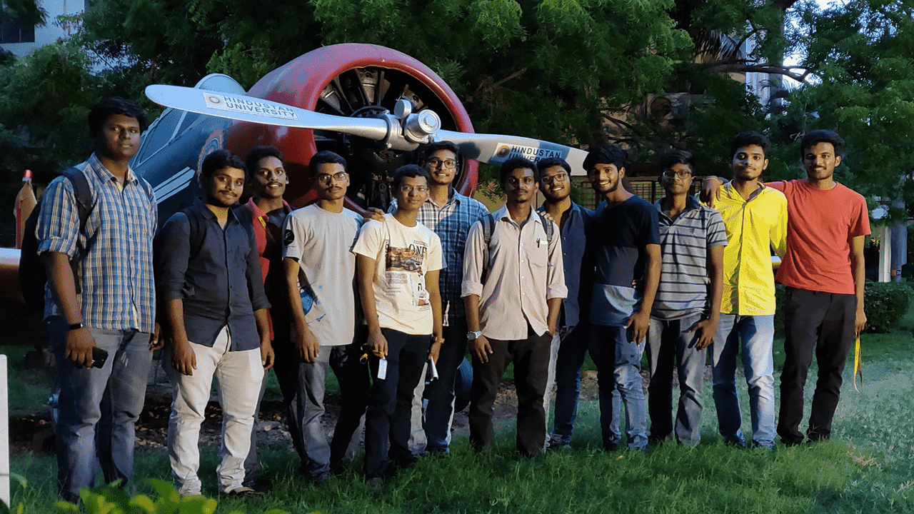
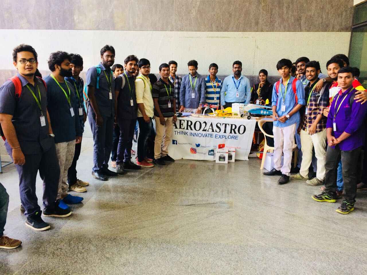
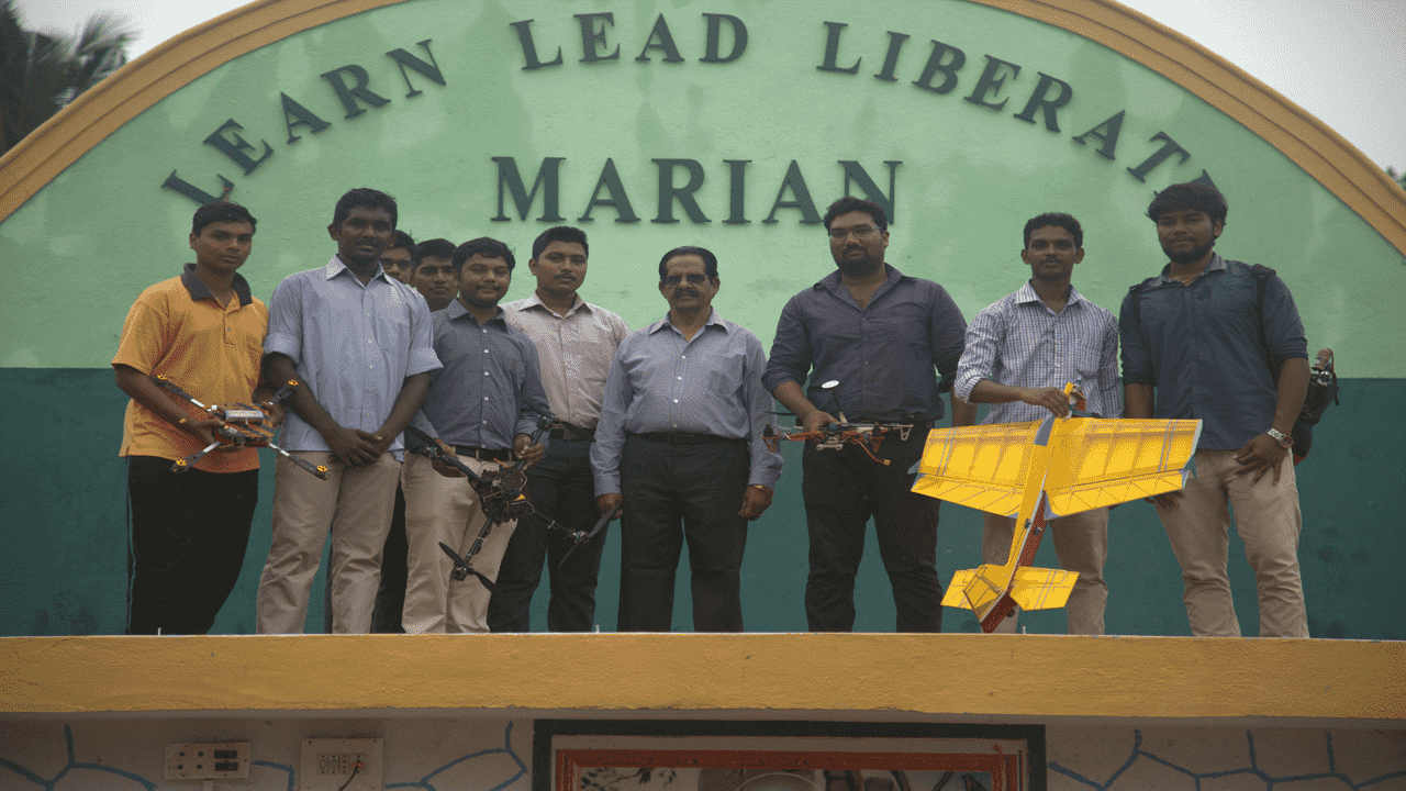
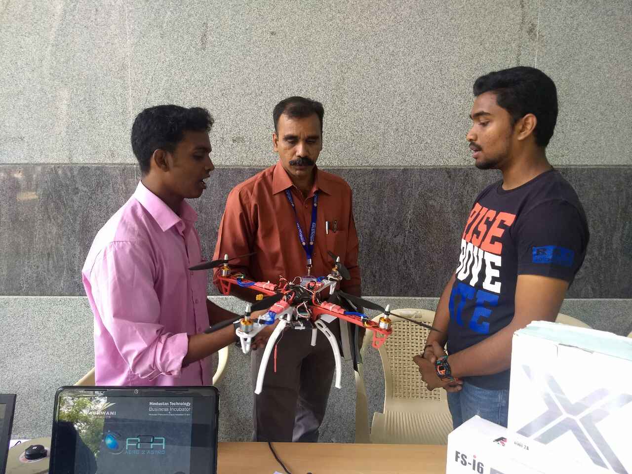
In the early days, every project was a lesson. We travelled thousands of kilometers across India, working on drone surveys, inspections, mapping assignments, monitoring projects, and geospatial data collection.
From remote villages to industrial corridors, from infrastructure projects to land records modernization initiatives, every assignment helped us understand the real challenges faced by governments, enterprises, and field teams.
As demand grew, so did our vision.
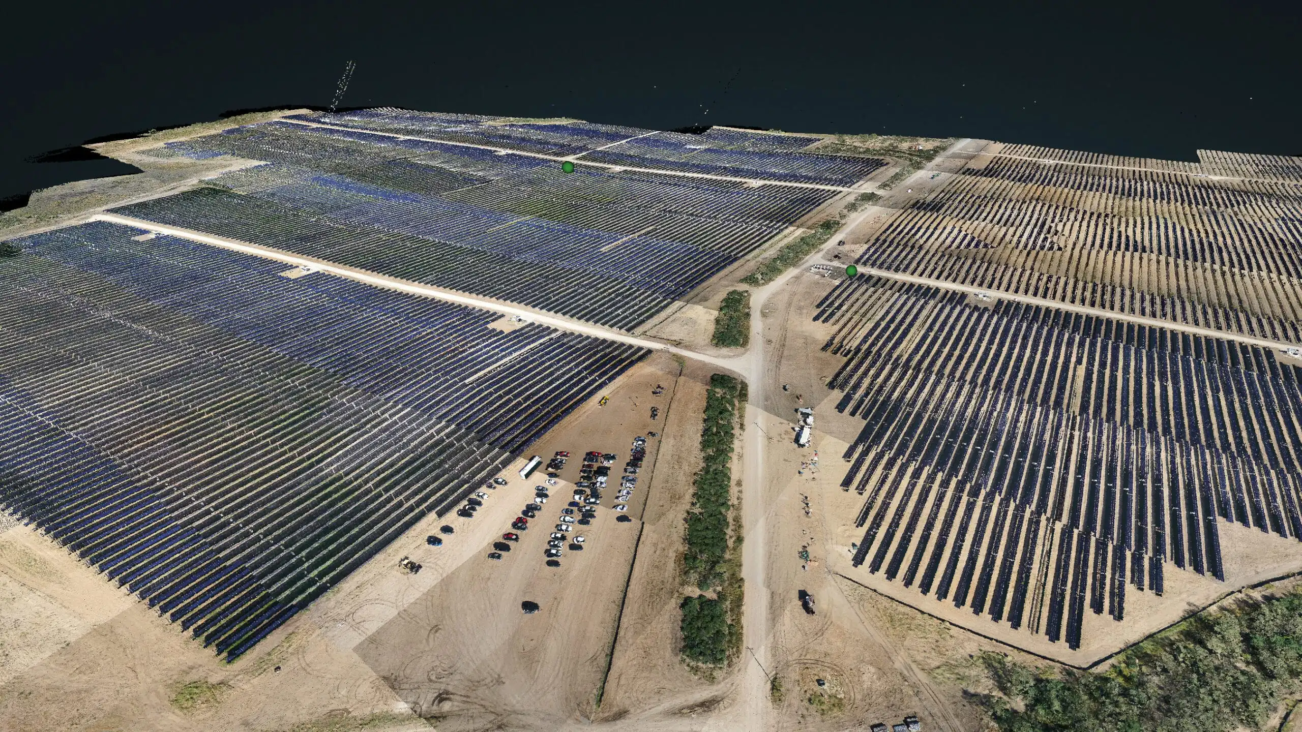
We realized that clients didn't just need drone services. They needed end-to-end solutions that transformed imagery into actionable intelligence for better decision-making.
This led Aero2Astro to evolve into a technology-driven platform connecting data acquisition, processing, analytics, and insights. Our focus expanded from flying drones to building systems that help organizations make faster and smarter decisions using geospatial intelligence.
But another challenge remained.
Across the country, thousands of talented drone pilots and geospatial professionals lacked visibility and opportunities. At the same time, companies struggled to identify verified talent quickly.
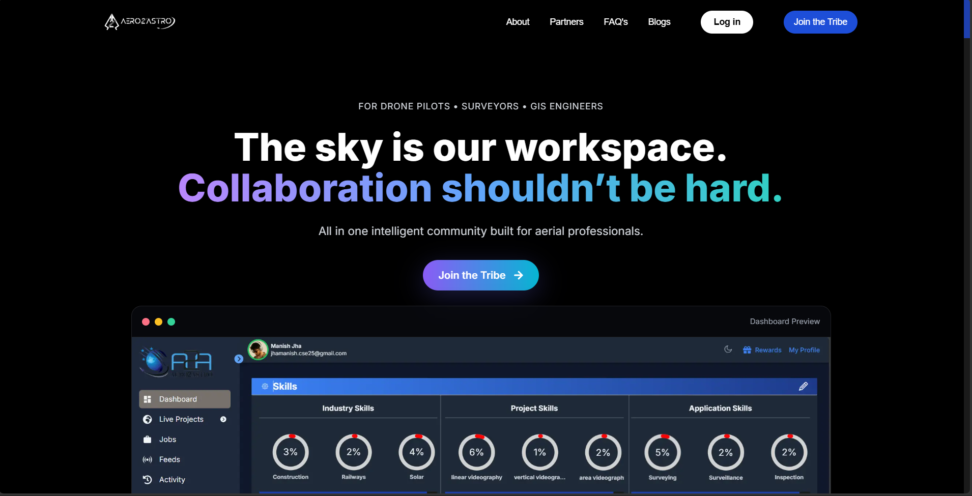
To bridge this gap, we launched AerooTribe.
AerooTribe was created as more than a community. It was designed as a professional network and opportunity platform for the entire drone ecosystem.
Today, AerooTribe connects drone pilots, surveyors, GIS experts, data analysts, organizations, training institutes, and industry stakeholders. It creates opportunities, enables collaboration, and helps professionals build meaningful careers in the rapidly expanding drone economy.
Together, Aero2Astro and AerooTribe represent two sides of the same vision.
Aero2Astro powers the future of geospatial intelligence.
AerooTribe powers the people building that future.
What started as a small effort to solve operational challenges has grown into a mission to build the digital infrastructure for aerial intelligence and geospatial services.
The journey is still in its early chapters.
Our vision is to create the world's largest connected ecosystem for drone operations, geospatial intelligence, and actionable insights—where organizations can access trusted expertise on demand and professionals can unlock opportunities without boundaries.
From a single project to a nationwide network. From flying drones to building an ecosystem.
This is not just our startup story. This is the future of aerial intelligence, and we're building it one mission at a time.
"We didn't start Aero2Astro to build another drone company. We started it to build the infrastructure that connects technology, talent, and data-driven decision-making. AerooTribe is our commitment to the people behind this transformation, and Aero2Astro is the engine powering it."
 Geospatial Intelligence
Need Actionable Aerial Intelligence?
Partner with Aero2Astro to deploy drone operations, mapping, structural inspections, and 3D digital twins that optimize decision-making and project execution.
Professional EcosystemAre You a Drone or GIS Professional?
Join AerooTribe's growing network to collaborate with other experts, discover verified opportunities, and grow your career in the rapidly expanding drone economy.